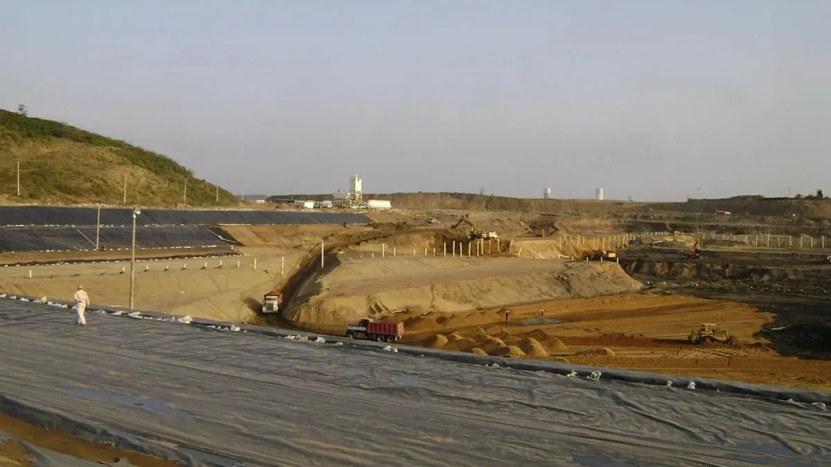
A 40-foot excavation for a mixed-use building along Santa Rosa Creek required more than standard shoring. Groundwater at 12 feet and interbedded silts forced us to rethink the support sequence twice before the first bucket hit grade. We design excavation support systems in Santa Rosa for exactly these conditions—where the water table, seismic demand, and clayey alluvium interact in ways that standard charts don't capture. The team integrates CPT test data from the site investigation phase to map stratigraphic contacts that govern lateral earth pressures, and pairs that with excavation monitoring protocols to validate wall deflection assumptions during construction. Every design we deliver accounts for the City's plan-check requirements, CalOSHA shoring standards, and the ASCE 7-22 seismic provisions that apply to excavations deeper than 15 feet in Sonoma County.
Base stability in Santa Rosa's alluvial clays often controls the design before wall bending does—check heave safety factors at every excavation stage.
Relevant standards
IBC 2024 – Section 1806: Excavation, Grading, and Fill, ASCE/SEI 7-22 – Chapter 19: Seismic Earth Pressures, CalOSHA Title 8, Subchapter 4 – Excavation and Trenching Safety, ASTM D2487 – Unified Soil Classification System, FHWA Geotechnical Engineering Circular No. 4 – Ground Anchors and Anchored Systems
Questions and answers
What is the typical cost range for geotechnical design of a deep excavation in Santa Rosa?
For a mid-rise excavation in Santa Rosa—say 20 to 40 feet deep with adjacent structures—the geotechnical design package typically ranges from US$1,810 to US$9,420, depending on shoring complexity, number of tieback levels, and instrumentation requirements. A simple cantilever soldier wall on an open lot falls at the lower end; a tied-back system with groundwater cutoffs and a full monitoring plan runs higher. We provide a firm fee proposal after reviewing the architectural basement plan and the soils report.
How do you determine the lateral earth pressure for a Santa Rosa site?
We don't use a single coefficient. The pressure diagram depends on soil type, wall stiffness, and construction sequence. In Santa Rosa's alluvial clays, we typically start with Peck's apparent pressure envelope for stiff-to-hard clays, then adjust based on the CPT tip resistance profile. For sites within 2 km of the Rodgers Creek Fault, we add a seismic increment per Mononobe-Okabe. The final pressure envelope is shown on the design drawings for each excavation stage.
What triggers a mandatory instrumentation plan for excavations in Santa Rosa?
Any excavation deeper than 20 feet within a horizontal distance of 1.5 times the depth from an adjacent building requires inclinometers and survey prisms per our standard of practice. The City of Santa Rosa also requires a pre-construction condition survey of neighboring structures when the excavation exceeds 15 feet. We specify trigger values: typically 0.5% of excavation depth for total deflection and 0.25% for the rate per week.
Can you design a shoring system that allows excavation below the groundwater table?
Yes, but it requires a combined structural and hydraulic design. We specify a groundwater cutoff—either a jet-grout plug or a secant wall keyed into the low-permeability layer—and design the base slab or strut system to resist hydrostatic uplift during the open-cut phase. In Santa Rosa, where the water table can rise to within 8 feet of the surface in winter, we size the dewatering system for the seasonal maximum, not the construction-week reading.