Santa Rosa's position at the northern edge of the San Francisco Bay Area places it squarely within one of the most seismically active regions in the country. The Rodgers Creek Fault runs just east of the city, while the San Andreas Fault lies roughly 20 miles to the west, creating a complex tectonic setting that demands precise shear wave velocity data for any significant construction project. The MASW method has become the go-to approach here for obtaining Vs30 profiles without the depth limitations of borehole techniques, particularly in the alluvial deposits that fill the Santa Rosa Plain. We run these surveys across commercial parcels near Highway 101, residential subdivisions in the Fountaingrove area, and public infrastructure projects throughout Sonoma County, delivering the site classification parameters that ASCE 7 requires for seismic design.
Getting Vs30 right in Santa Rosa is not optional. The Rodgers Creek Fault can produce a magnitude 7.0 event, and ASCE 7 site coefficients amplify ground motions dramatically when you cross from Site Class C to D.
Methodology and scope
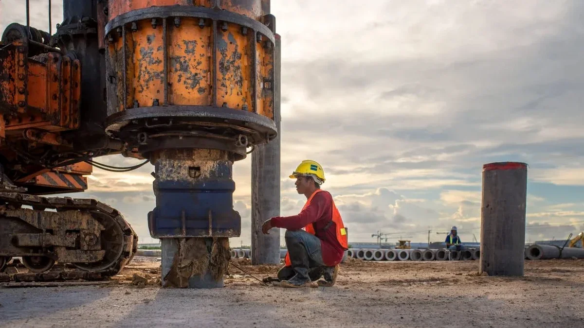
Contractors and geotechnical engineers working in Santa Rosa quickly learn that the shallow subsurface varies dramatically within a single parcel. The city sits on the Santa Rosa Plain, where Quaternary alluvium from the Russian River drainage system overlies the Sonoma Volcanics, creating velocity contrasts that a single CPT sounding cannot reliably map. Our field crew deploys a 24-channel seismograph with 4.5 Hz geophones spaced at 10-foot intervals, generating surface waves with a 20-pound sledgehammer on an aluminum plate. The dispersion curve extraction and inversion follows the procedures outlined in the Kansas Geological Survey's open-source SurfSeis workflow, which we cross-check against borehole data from SPT drilling when available. This combined approach resolves shear wave velocities from the near-surface fill down to 100 feet, covering the full Vs30 depth interval that IBC Chapter 16 references for site classification.
Questions and answers
What does a MASW survey cost for a typical Santa Rosa commercial lot?
For a standard commercial parcel in Santa Rosa with one or two survey lines covering the required Vs30 depth, the cost typically runs between US$1,790 and US$2,680. The exact figure depends on site access, line length, and whether we need to coordinate with an active construction schedule. We always provide a fixed-price proposal after reviewing the parcel location and project scope.
How long does it take to get the Vs30 report after the field survey?
Field acquisition for a single MASW line takes about two to three hours on site. The dispersion analysis, inversion modeling, and report preparation require three to five business days in our Santa Rosa office. We can expedite to 48 hours for projects under tight permitting deadlines.
Does Santa Rosa building department accept MASW for site classification?
Yes. The City of Santa Rosa Building Division accepts MASW-derived Vs30 profiles for IBC site classification, provided the survey follows ASTM D7400 or D5777 procedures and the report is stamped by a California-licensed geotechnical engineer. We include the required PE stamp on every site classification letter.
How many MASW lines do I need for my project?
For a single building footprint under 10,000 square feet, one line oriented parallel to the long axis usually suffices. Larger structures, irregular footprints, or sites with known lateral variability near the Rodgers Creek Fault zone may require two or three intersecting lines to capture the velocity structure adequately.
Can you run a MASW survey on a paved parking lot?
Yes, we can. Pavement does not prevent surface wave propagation, but it does require coupling adjustments. We typically drill small pilot holes through the asphalt at each geophone location to plant the spikes directly in the underlying soil, which maintains data quality without damaging the pavement.